 |
 |
 |

98% OF OUR PLANET COVERED BY GOOGLE |
|
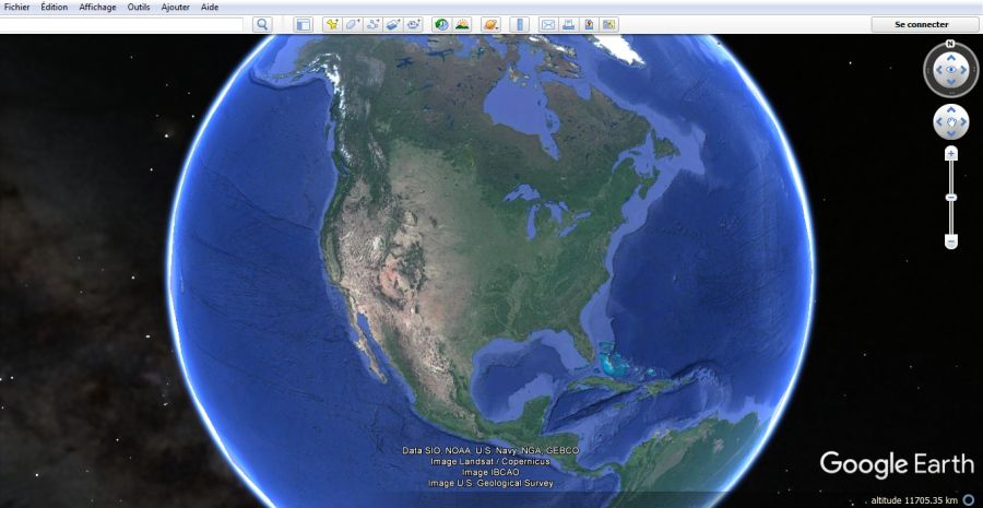
| Loved in 2004, Google's service has come a long way, literally. Google is proud to announce the extent of the area covered for 15 years in the world with Google Street View and Google Earth. It has covered 98% of the surface of the blue planet and has implemented it in its various mapping apps.
According to his figures, this represents nearly 10 million miles with his Street View service, which represents almost 16 million kilometers of paths or roads taken in photos, from all angles. A distance which represents, for indication, 400 times the circumference of the Earth. The firm also revealed that its other mapping service, Google Earth, now covers 98% of the world's population, for 58 million square kilometers. The Mountain View firm returned to the process that allowed it to map every corner of the planet. Places accessible by road are thus photographed from all angles by “a fleet of Street View cars, each equipped with nine cameras which capture high definition images from all possible points of view. With regard to the areas not accessible by vehicle, Google explains that it has fixed its 360 ° image device for hikers, called a Street View trekker, but also for sheep and dromedaries. The American giant would therefore have succeeded in immortalizing all possible corners. Even with the most unusual images of naked people, car accidents, fleeing prisoners or a flying rabbit in Poland. Finally, for satellite images, Google also announces that it will store 36 million square miles (93,239,571 km2) of satellite photos for appropriate rendering and, above all, put one of its historic applications to use for Google Earth. House photogrammetry For a rendering close to reality possible, Google uses several methods of image processing including photogrammetry. A technique more than a century old which consists in associating, grafting, several images together so that it forms only one with the least possible distortions. Google has taken 10 years to perfect its homemade photogrammetry using AI in particular. The process can now aggregate photos taken on the ground, in the air or from space to form just one. It is even possible to have different view modes, from simple satellite view to Street View mode with directions, street number, or even restaurant menus etc. affixed in augmented reality . " Image is at the heart of everything we do, " said Ethan Russel, product manager at Google Maps. “ We see it as the basis of our entire card making process.“ |
|
| Paul Emison for DayNewsWorld | |
 |
|